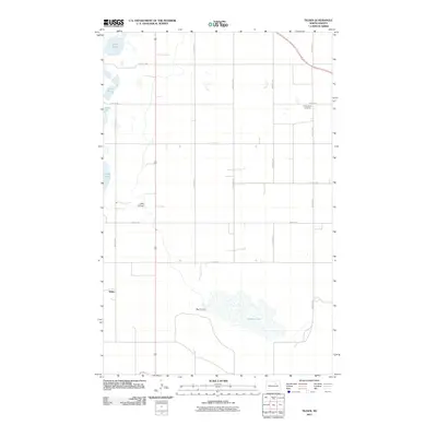
2011 Map of Tilden
USGS Topo · Published 2011About this map
Pelican Lake and the winding course of the Big Coulee dominate the southern landscape of this North Dakota quadrangle, reflecting a terrain shaped by glacial depressions and intermittent drainage. The small settlement of Tilden sits at a crossroads in the western portion of the map, serving as a quiet focal point for a region defined by agricultural sections and a network of precisely gridded roads such as 69th Ave NE and 56th St NE.
Find a feature on this map
21 named features on this map. Tap any name to fly to it.
Don’t see what you’re looking for? This feature index may not catch every label — zoom into the map to look around manually.
Map Details
Editions of this 2011 Tilden Map
This is the sole edition of this map. No revisions or reprints were ever made.
Other maps of this area

1932 · Grahams Island
USGS Topo · 1:62,500

1950 · Grahams Island
USGS Topo · 1:62,500

1951 · Grahams Island
USGS Topo · 1:24,000

1951 · Tilden
USGS Topo · 1:24,000

1951 · Minnewaukan East
USGS Topo · 1:24,000

1951 · Penn
USGS Topo · 1:24,000

1953 · Devils Lake
USGS Topo · 1:250,000

1956 · Devils Lake
USGS Topo · 1:250,000

1956 · Brinsmade
USGS Topo · 1:24,000

1957 · Cando SE
USGS Topo · 1:24,000