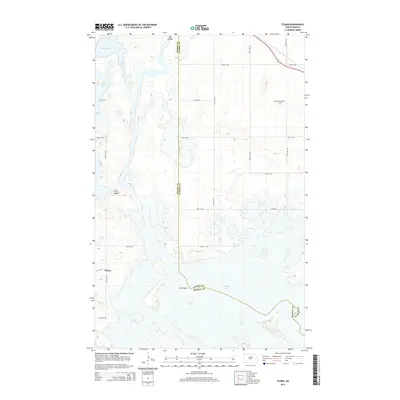
2014 Map of Tilden
USGS Topo · Published 2014About this map
The small settlement of Tilden serves as a quiet landmark in this prairie landscape, situated near the boundary where Benson and Ramsey Counties meet. The geography is defined by a series of significant glacial depressions and water bodies, including Stink Lake, Lake Murie, Lake Yri, and Silver Lake, which dominate the western half of the terrain. The presence of the Presbyterian Cem in the northeast quadrant provides a genealogical anchor for the community, located just south of the Us-2 corridor. The natural drainage of the land is visible through the winding paths of Big Coulee and Little Coulee, which cut through the agricultural grid established by roads such as 64th Ave NE and Co Road 2. This survey reflects the enduring rural character of North Dakota's lake country, where family history is tied to the section lines and seasonal wetlands like Pelican Lake.
Find a feature on this map
25 named features on this map. Tap any name to fly to it.
Don’t see what you’re looking for? This feature index may not catch every label — zoom into the map to look around manually.
Map Details
Editions of this 2014 Tilden Map
This is the sole edition of this map. No revisions or reprints were ever made.
Other maps of this area
1932 · Grahams Island
USGS Topo · 1:62,500
1950 · Grahams Island
USGS Topo · 1:62,500
1951 · Grahams Island
USGS Topo · 1:24,000
1951 · Tilden
USGS Topo · 1:24,000
1951 · Minnewaukan East
USGS Topo · 1:24,000
1951 · Penn
USGS Topo · 1:24,000
1953 · Devils Lake
USGS Topo · 1:250,000
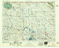
1956 · Devils Lake
USGS Topo · 1:250,000
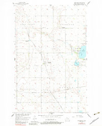
1956 · Brinsmade
USGS Topo · 1:24,000
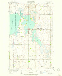
1957 · Cando SE
USGS Topo · 1:24,000