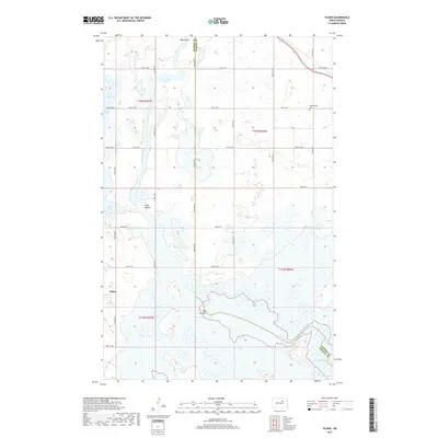
2017 Map of Tilden
USGS Topo · Published 2017About this map
Tilden sits at the intersection of 64th Ave NE and 52nd St NE, serving as a central point in this prairie landscape along the Benson and Ramsey county line. The terrain is defined by a dense network of glacial potholes and larger water bodies, including Lake Murie, Lake Yri, and Silver Lake to the west. The drainage patterns are clearly marked by the winding courses of Little Coulee and the more prominent Big Coulee, which flows toward the southeast into Pelican Lake. Cultural landmarks like the Presbyterian Cemetery in the northeast quadrant offer specific points of interest for genealogists tracking early families in the region. The map also documents the expansive shoreline of Oswalds Bay at the edge of the sheet, illustrating how water levels shape the local geography and road access in this portion of the North Dakota plains.
Find a feature on this map
30 named features on this map. Tap any name to fly to it.
Don’t see what you’re looking for? This feature index may not catch every label — zoom into the map to look around manually.
Map Details
Editions of this 2017 Tilden Map
This is the sole edition of this map. No revisions or reprints were ever made.
Other maps of this area
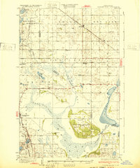
1932 · Grahams Island
USGS Topo · 1:62,500
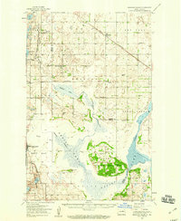
1950 · Grahams Island
USGS Topo · 1:62,500
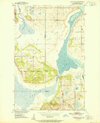
1951 · Grahams Island
USGS Topo · 1:24,000
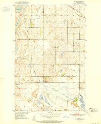
1951 · Tilden
USGS Topo · 1:24,000
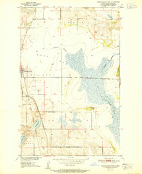
1951 · Minnewaukan East
USGS Topo · 1:24,000
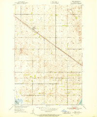
1951 · Penn
USGS Topo · 1:24,000
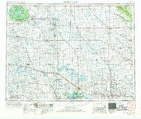
1953 · Devils Lake
USGS Topo · 1:250,000
1956 · Devils Lake
USGS Topo · 1:250,000
1956 · Brinsmade
USGS Topo · 1:24,000
1957 · Cando SE
USGS Topo · 1:24,000