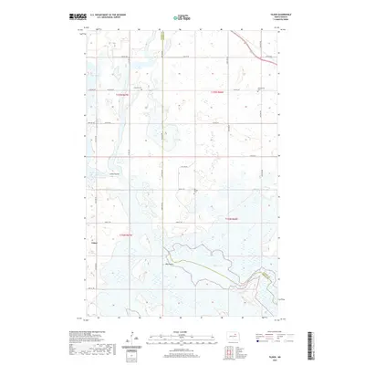
2020 Map of Tilden
USGS Topo · Published 2020About this map
Tilden and the surrounding prairie of North Dakota are defined by a complex network of wetlands and coulees at the border of Benson and Ramsey counties. This 2020 landscape reveals the enduring presence of local community hubs such as Antiochia Cem and Big Coulee Cem, which serve as quiet markers of rural heritage. The hydrology is particularly prominent, with Pelican Lake and Lake Marie joined by the winding paths of Big Coulee and Little Coulee. A grid of section-line roads, including 64th Ave NE and 57th St NE, connects these water bodies to the primary north-south corridor of US Hwy 281. The map documents a classic Great Plains settlement pattern where small towns and family cemeteries are interspersed among glacial lakes such as Lake Yri and Silver Lake, reflecting the region's reliance on the natural drainage systems for both agriculture and local travel.
Find a feature on this map
28 named features on this map. Tap any name to fly to it.
Don’t see what you’re looking for? This feature index may not catch every label — zoom into the map to look around manually.
Map Details
Editions of this 2020 Tilden Map
This is the sole edition of this map. No revisions or reprints were ever made.
Other maps of this area

1932 · Grahams Island
USGS Topo · 1:62,500

1950 · Grahams Island
USGS Topo · 1:62,500

1951 · Grahams Island
USGS Topo · 1:24,000

1951 · Tilden
USGS Topo · 1:24,000

1951 · Minnewaukan East
USGS Topo · 1:24,000

1951 · Penn
USGS Topo · 1:24,000

1953 · Devils Lake
USGS Topo · 1:250,000

1956 · Devils Lake
USGS Topo · 1:250,000

1956 · Brinsmade
USGS Topo · 1:24,000

1957 · Cando SE
USGS Topo · 1:24,000