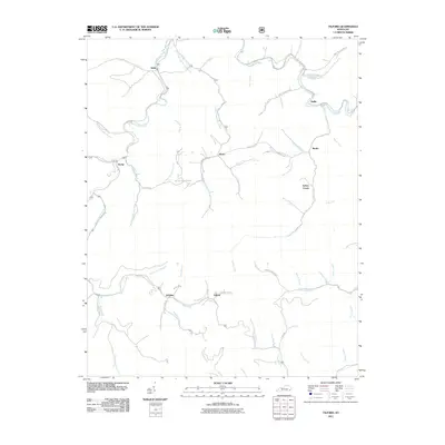
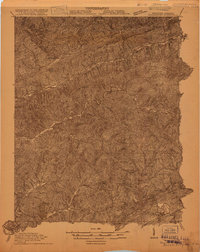
2011 Map of Tilford
USGS Topo · Published 2011About this map
Leatherwood Creek and Line Fork dominate the steep, branching drainages of this Perry County landscape, which by the early 21st century remained a network of hollows and ridges defined by small, dispersed settlements. The community of Wentz sits centrally, linked to Slemp and Daisy by a series of narrow roads following the watercourses. The local burial site at Riddle Bradley Cemetery provides a specific point of interest for those researching family history in the area near Bee Hive Mountain Rd.
Find a feature on this map
65 named features on this map. Tap any name to fly to it.
Don’t see what you’re looking for? This feature index may not catch every label — zoom into the map to look around manually.
Map Details
Editions of this 2011 Tilford Map
This is the sole edition of this map. No revisions or reprints were ever made.
Other maps of this area

1887 · Jonesville
USGS Topo · 1:125,000

1890 · Whitesburg
USGS Topo · 1:125,000

1891 · Hazard
USGS Topo · 1:125,000

1891 · Jonesville
USGS Topo · 1:125,000

1892 · Whitesburg
USGS Topo · 1:125,000

1894 · Estillville
USGS Topo · 1:125,000
1913 · Oven Fork
USGS Topo · 1:48,000
1915 · Whitesburg
USGS Topo · 1:62,500
1916 · Cornettsville
USGS Topo · 1:62,500
1916 · Nolansburg
USGS Topo · 1:48,000