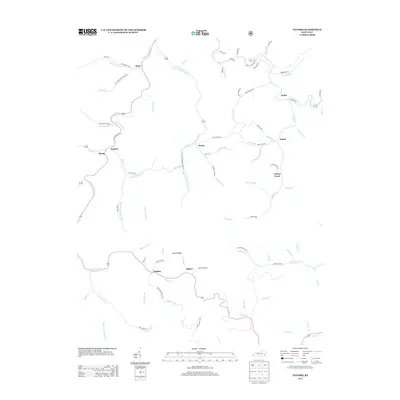
2013 Map of Tilford
USGS Topo · Published 2013About this map
Leatherwood Cr and its complex system of tributaries carve through the landscape of Perry County, anchoring small communities like Tilford and Delphia. The drainage pattern here, defined by names such as Right Fork Hicks Br and Little Leatherwood Cr, dictates the placement of winding mountain roads and local settlements. In the southern portion of the quadrangle, the confluence of Blair Fork and Defeated Cr near Tilford highlights a classic Appalachian settlement pattern where development follows the valley floors.
Find a feature on this map
86 named features on this map. Tap any name to fly to it.
Don’t see what you’re looking for? This feature index may not catch every label — zoom into the map to look around manually.
Map Details
Editions of this 2013 Tilford Map
This is the sole edition of this map. No revisions or reprints were ever made.
Other maps of this area

1887 · Jonesville
USGS Topo · 1:125,000

1890 · Whitesburg
USGS Topo · 1:125,000

1891 · Hazard
USGS Topo · 1:125,000

1891 · Jonesville
USGS Topo · 1:125,000

1892 · Whitesburg
USGS Topo · 1:125,000

1894 · Estillville
USGS Topo · 1:125,000

1913 · Oven Fork
USGS Topo · 1:48,000

1915 · Whitesburg
USGS Topo · 1:62,500

1916 · Cornettsville
USGS Topo · 1:62,500

1916 · Nolansburg
USGS Topo · 1:48,000