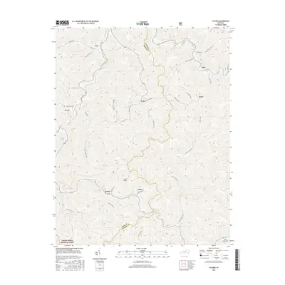
2016 Map of Tilford
USGS Topo · Published 2016About this map
Pine Mountain and the high elevations of the Daniel Boone National Forest dominate this modern survey of the Cumberland Plateau. The landscape is defined by the winding boundary between Perry and Letcher Counties, where narrow valleys and steep ridges dictate the placement of small communities. The settlements of Wentz, Tilford, and Delphia are connected by roads following the natural drainage of the land, such as Jackson Fork Rd and Brashy Gap Rd. Genealogists may find interest in the Riddle Bradley Cemetery, situated on a ridge overlooking the headwaters of the region. The map illustrates the persistent pattern of ridge-and-hollow settlement, where places like Daisy and Slemp occupy the few available levels near watercourses like Hicks Branch and Turkey Creek.
Find a feature on this map
39 named features on this map. Tap any name to fly to it.
Don’t see what you’re looking for? This feature index may not catch every label — zoom into the map to look around manually.
Map Details
Editions of this 2016 Tilford Map
This is the sole edition of this map. No revisions or reprints were ever made.
Other maps of this area

1887 · Jonesville
USGS Topo · 1:125,000

1890 · Whitesburg
USGS Topo · 1:125,000

1891 · Hazard
USGS Topo · 1:125,000

1891 · Jonesville
USGS Topo · 1:125,000

1892 · Whitesburg
USGS Topo · 1:125,000

1894 · Estillville
USGS Topo · 1:125,000

1913 · Oven Fork
USGS Topo · 1:48,000

1915 · Whitesburg
USGS Topo · 1:62,500

1916 · Cornettsville
USGS Topo · 1:62,500

1916 · Nolansburg
USGS Topo · 1:48,000