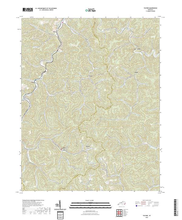
2022 Map of Tilford
USGS Topo · Published 2022About this map
Jewell Ridge dominates the central landscape of this Kentucky coal country, a divide separating numerous deep hollows and narrow valleys. This topography dictates the settlement pattern, with small communities like Slemp, Delphia, and Tilford situated along the winding paths of Leatherwood Creek and its many tributaries. The area is characterized by a dense network of local roads such as Daisy Rd and Bark Camp Br Rd that follow the natural drainage of the land, connecting family-named landmarks and secluded hollows.
Find a feature on this map
99 named features on this map. Tap any name to fly to it.
Don’t see what you’re looking for? This feature index may not catch every label — zoom into the map to look around manually.
Map Details
Editions of this 2022 Tilford Map
This is the sole edition of this map. No revisions or reprints were ever made.
Other maps of this area

1887 · Jonesville
USGS Topo · 1:125,000

1890 · Whitesburg
USGS Topo · 1:125,000

1891 · Hazard
USGS Topo · 1:125,000

1891 · Jonesville
USGS Topo · 1:125,000

1892 · Whitesburg
USGS Topo · 1:125,000

1894 · Estillville
USGS Topo · 1:125,000

1913 · Oven Fork
USGS Topo · 1:48,000

1915 · Whitesburg
USGS Topo · 1:62,500

1916 · Cornettsville
USGS Topo · 1:62,500

1916 · Nolansburg
USGS Topo · 1:48,000