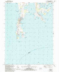
1988 Map of Tilghman
USGS Topo · Published 1992About this map
Tilghman Island defines this maritime landscape, reaching south into the confluence of the Chesapeake Bay and Choptank River. The map details a well-established waterman's economy centered on Tilghman, Avalon, and Fairbank, where the shoreline is intricately carved by Dogwood Harbor and Pawpaw Cove. This 1980s-era survey captures the distinct geography of the Eastern Shore, from the protected Lower Harbor to the inland reaches of Harris Creek and Broad Creek.
Find a feature on this map
67 named features on this map. Tap any name to fly to it.
Don’t see what you’re looking for? This feature index may not catch every label — zoom into the map to look around manually.
Map Details
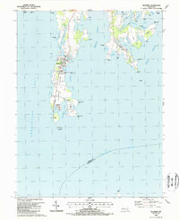
Editions of this 1988 Tilghman Map
2 editions found
Other maps of this area

1892 · Annapolis
USGS Topo · 1:62,500

1893 · Sharps Island
USGS Topo · 1:62,500

1898 · Choptank
USGS Topo · 1:125,000

1904 · St. Michaels
USGS Topo · 1:62,500

1904 · Annapolis
USGS Topo · 1:62,500

1904 · Sharps Island
USGS Topo · 1:62,500

1904 · Oxford
USGS Topo · 1:62,500

1908 · Choptank
USGS Topo · 1:125,000

1942 · Tilghman
USGS Topo · 1:31,680

1942 · Oxford
USGS Topo · 1:31,680