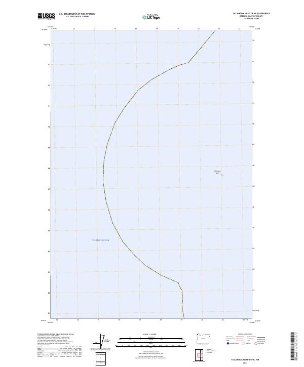
2023 Map of Tillamook Head OE W
USGS Topo · Published 2023About this map
Tillamook Rock stands as the primary terrestrial landmark in this offshore survey of the Pacific Ocean coastline. Located off the coast of Clatsop County, the area is largely defined by the protected waters and rocky outcroppings of the Oregon Islands National Wildlife Refuge and the Oregon Islands Wilderness. This 2023 edition highlights the intersection of federal conservation boundaries and maritime geography, detailing the bathymetry and protected island zones that characterize the nearshore environment of northern Oregon. The map serves as a contemporary record of these sensitive ecological habitats, illustrating the isolation of features like Tillamook Rock within the broader marine landscape.
Find a feature on this map
32 named features on this map. Tap any name to fly to it.
Don’t see what you’re looking for? This feature index may not catch every label — zoom into the map to look around manually.
Map Details
Editions of this 2023 Tillamook Head OE W Map
This is the sole edition of this map. No revisions or reprints were ever made.
Other maps of this area

1919 · Astoria
USGS Topo · 1:62,500

1939 · Astoria
USGS Topo · 1:62,500

1940 · Cape Falcon
USGS Topo · 1:62,500

1943 · Copalis Beach
USGS Topo · 1:250,000

1948 · Vancouver
USGS Topo · 1:250,000

1949 · Tillamook Head
USGS Topo · 1:24,000

1949 · Gearhart
USGS Topo · 1:24,000

1950 · Vancouver
USGS Topo · 1:250,000

1950 · Vancouver
USGS Topo · 1:250,000

1951 · Copalis Beach
USGS Topo · 1:250,000