
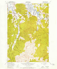
1949 Map of Gearhart
USGS Topo · Published 1955About this map
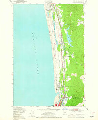
Camp Clatsop Military Reservation occupies the northern expanse of this 1949 survey, marking the strategic military footprint on the Clatsop Plains. The landscape is defined by a series of narrow lakes and sloughs, including Cullaby Lake and Sunset Lake, which sit parallel to the coast behind the primary dunes. The local economy and social life of the era are visible in landmarks like the Pacific Grange Hall and the Astoria Country Club, while the Spokane Portland and Seattle Railway provides the primary transit corridor through the small settlements of Carnahan and Glenwood. To the south, the growing coastal communities of Gearhart and Seaside are detailed, showing the street grids and the confluence of the Necanicum River and the Lewis and Clark River. This map captures a unique moment where traditional dairy farms like Ocean Home Farm exist alongside modern developments like the Seaside Airfield.
Find a feature on this map
32 named features on this map. Tap any name to fly to it.
Don’t see what you’re looking for? This feature index may not catch every label — zoom into the map to look around manually.
Map Details
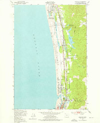
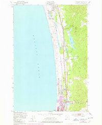
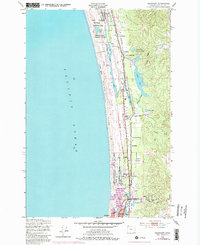
Editions of this 1949 Gearhart Map
5 editions found
Other maps of this area

1919 · Astoria
USGS Topo · 1:62,500

1939 · Astoria
USGS Topo · 1:62,500

1940 · Cape Falcon
USGS Topo · 1:62,500

1943 · Copalis Beach
USGS Topo · 1:250,000

1948 · Vancouver
USGS Topo · 1:250,000

1949 · Astoria
USGS Topo · 1:24,000

1949 · Tillamook Head
USGS Topo · 1:24,000
1949 · Olney
USGS Topo · 1:24,000

1950 · Vancouver
USGS Topo · 1:250,000

1950 · Vancouver
USGS Topo · 1:250,000