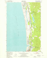
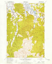
1949 Map of Gearhart
USGS Topo · Published 1976About this map
The Clatsop Plains define this coastal landscape, forming a low-lying sandy corridor between the Pacific Ocean and the rising timber of Clatsop Ridge. This 1940s landscape is anchored by the Spokane Portland and Seattle Railway, which runs parallel to the shore, connecting small stops and landmarks like Dellmoor Sta and the Pacific Grange Hall. The area demonstrates a distinct mix of recreation and military presence, from the sprawling Gearhart Golf Course to the northern boundary of the Camp Clatsop Military Reservation. Inland, a complex system of narrow freshwater bodies including Cullaby Lake and Sunset Lake sit tucked behind the dunes. The southern portion of the sheet shows the transition into the Necanicum River estuary near the Seaside Airfield, documenting the region's mid-century layout before modern coastal development intensified.
Find a feature on this map
31 named features on this map. Tap any name to fly to it.
Don’t see what you’re looking for? This feature index may not catch every label — zoom into the map to look around manually.
Map Details
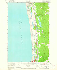
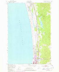
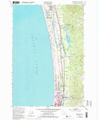
Editions of this 1949 Gearhart Map
5 editions found
Other maps of this area

1919 · Astoria
USGS Topo · 1:62,500

1939 · Astoria
USGS Topo · 1:62,500

1940 · Cape Falcon
USGS Topo · 1:62,500

1943 · Copalis Beach
USGS Topo · 1:250,000

1948 · Vancouver
USGS Topo · 1:250,000

1949 · Astoria
USGS Topo · 1:24,000

1949 · Tillamook Head
USGS Topo · 1:24,000

1949 · Gearhart
USGS Topo · 1:24,000
1949 · Olney
USGS Topo · 1:24,000

1950 · Vancouver
USGS Topo · 1:250,000