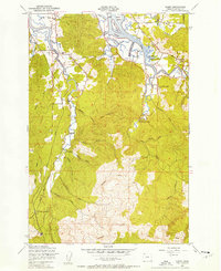
1949 Map of Olney
USGS Topo · Published 1955About this map
The Lewis and Clark River and Youngs River dominate this coastal Oregon landscape, winding through a complex network of sloughs and ridges south of Astoria. In the years following World War II, this region served as a hub for timber extraction and transportation, evidenced by the numerous corridors of an Abandoned Logging Road and the Old Railroad Grade that parallels the Klaskanine River. Small community centers like Olney and Melville are mapped alongside rural educational landmarks such as Gladwell Sch and Youngs River Falls Sch. The terrain is defined by dramatic water features including Youngs River Falls and several islands like Fry Island and Haven Island situated at the river junctions. To the south, the industrial footprint is clear at the Lumber Camp and the Warrenton Reservoir, illustrating the mid-century intersection of natural resources and municipal infrastructure in Clatsop County.
Find a feature on this map
46 named features on this map. Tap any name to fly to it.
Don’t see what you’re looking for? This feature index may not catch every label — zoom into the map to look around manually.
Map Details
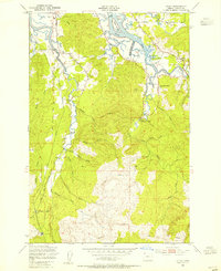
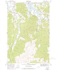
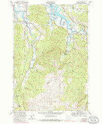
Editions of this 1949 Olney Map
4 editions found
Other maps of this area

1919 · Astoria
USGS Topo · 1:62,500

1939 · Astoria
USGS Topo · 1:62,500

1939 · Saddle Mountain
USGS Topo · 1:62,500

1940 · Svensen
USGS Topo · 1:62,500

1940 · Cape Falcon
USGS Topo · 1:62,500

1943 · Saddle Mtn.
USGS Topo · 1:62,500

1948 · Vancouver
USGS Topo · 1:250,000

1949 · Astoria
USGS Topo · 1:24,000

1949 · Cathlamet Bay
USGS Topo · 1:24,000

1949 · Tillamook Head
USGS Topo · 1:24,000