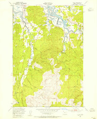
1949 Map of Olney
USGS Topo · Published 1955About this map
Youngs River and the Lewis and Clark River dominate this coastal Oregon landscape, winding through a complex network of tidewater sloughs and timbered ridges just inland from the Pacific. Near the confluence of several waterways, the small settlements of Melville and Olney serve as focal points for a region defined by its logging and river-based activity in the late 1940s. An Old Railroad Grade traces the riverbanks, hinting at the area's industrial past, while a remote Lumber Camp and various logging roads penetrate the deep drainages of the southern interior.
Find a feature on this map
46 named features on this map. Tap any name to fly to it.
Don’t see what you’re looking for? This feature index may not catch every label — zoom into the map to look around manually.
Map Details
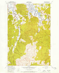
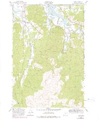
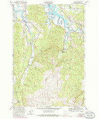
Editions of this 1949 Olney Map
4 editions found
Other maps of this area

1919 · Astoria
USGS Topo · 1:62,500

1939 · Astoria
USGS Topo · 1:62,500

1939 · Saddle Mountain
USGS Topo · 1:62,500

1940 · Svensen
USGS Topo · 1:62,500

1940 · Cape Falcon
USGS Topo · 1:62,500

1943 · Saddle Mtn.
USGS Topo · 1:62,500

1948 · Vancouver
USGS Topo · 1:250,000

1949 · Astoria
USGS Topo · 1:24,000

1949 · Cathlamet Bay
USGS Topo · 1:24,000

1949 · Tillamook Head
USGS Topo · 1:24,000