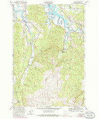
1949 Map of Olney
USGS Topo · Published 1986About this map
Youngs River and the Lewis and Clark River converge toward the Columbia estuary in this mid-century survey of Clatsop County. The landscape is defined by its intricate tidal waterways, including Peterson Slough, Cooperage Slough, and Battle Creek Slough, which weave through islands like Haven Island and Grant Island. Inland, the terrain transitions into the steep timberlands of Long Ridge, where a network of logging roads and a dedicated Lumber Camp suggest the era's active forest industry. Small communities and rural outposts are connected by the Nehalem Highway, with local life centered around points like the Youngs River Falls Sch and the settlement of Olney. The map preserves the footprint of early development near the Warrenton Reservoir and various creeks like Speelyai Creek and Moosmoos Creek, reflecting a coastal economy rooted in both the river and the ridge.
Find a feature on this map
43 named features on this map. Tap any name to fly to it.
Don’t see what you’re looking for? This feature index may not catch every label — zoom into the map to look around manually.
Map Details
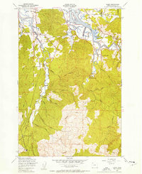
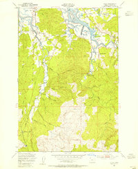
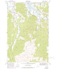
Editions of this 1949 Olney Map
4 editions found
Other maps of this area

1919 · Astoria
USGS Topo · 1:62,500

1939 · Astoria
USGS Topo · 1:62,500

1939 · Saddle Mountain
USGS Topo · 1:62,500

1940 · Svensen
USGS Topo · 1:62,500

1940 · Cape Falcon
USGS Topo · 1:62,500

1943 · Saddle Mtn.
USGS Topo · 1:62,500

1948 · Vancouver
USGS Topo · 1:250,000

1949 · Astoria
USGS Topo · 1:24,000

1949 · Cathlamet Bay
USGS Topo · 1:24,000

1949 · Tillamook Head
USGS Topo · 1:24,000