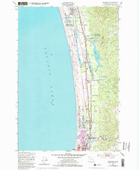
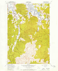
1949 Map of Gearhart
USGS Topo · Published 1984About this map
Clatsop Plains stretch between the Pacific and the interior ridge, defined by a complex network of coastal lakes and sloughs. This coastal corridor in the late 1940s is anchored by Gearhart and the northern reaches of Seaside, where the Necanicum River and Neawanna Creek meet the sea. The landscape reflects a mix of military presence at Camp Clatsop Military Reservation and local agricultural life at Ocean Home Farm.
Find a feature on this map
35 named features on this map. Tap any name to fly to it.
Don’t see what you’re looking for? This feature index may not catch every label — zoom into the map to look around manually.
Map Details
Editions of this 1949 Gearhart Map
5 editions found
Other maps of this area

1919 · Astoria
USGS Topo · 1:62,500

1939 · Astoria
USGS Topo · 1:62,500

1940 · Cape Falcon
USGS Topo · 1:62,500

1943 · Copalis Beach
USGS Topo · 1:250,000

1948 · Vancouver
USGS Topo · 1:250,000

1949 · Astoria
USGS Topo · 1:24,000

1949 · Tillamook Head
USGS Topo · 1:24,000

1949 · Gearhart
USGS Topo · 1:24,000
1949 · Olney
USGS Topo · 1:24,000

1950 · Vancouver
USGS Topo · 1:250,000