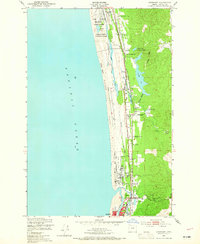
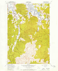
1949 Map of Gearhart
USGS Topo · Published 1965About this map
The Clatsop Plains define this coastal landscape, where a series of elongated lakes and sloughs run parallel to the Pacific Ocean shore. The map illustrates a developed corridor of rail and road infrastructure, including the Spokane Portland and Seattle railroad and the Oregon Coast Highway, which connect small communities like Gearhart and Seaside. Along this narrow strip of land, local institutions such as the Clatsop Plains Sch and Pacific Grange Hall serve as focal points for the rural population living near Carnahan and Butterfield.
Find a feature on this map
35 named features on this map. Tap any name to fly to it.
Don’t see what you’re looking for? This feature index may not catch every label — zoom into the map to look around manually.
Map Details
Editions of this 1949 Gearhart Map
5 editions found
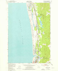
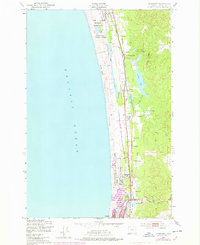
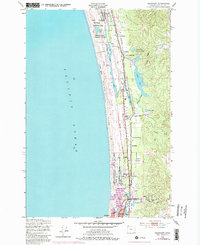
Other maps of this area

1919 · Astoria
USGS Topo · 1:62,500

1939 · Astoria
USGS Topo · 1:62,500

1940 · Cape Falcon
USGS Topo · 1:62,500

1943 · Copalis Beach
USGS Topo · 1:250,000

1948 · Vancouver
USGS Topo · 1:250,000

1949 · Astoria
USGS Topo · 1:24,000

1949 · Tillamook Head
USGS Topo · 1:24,000

1949 · Gearhart
USGS Topo · 1:24,000
1949 · Olney
USGS Topo · 1:24,000

1950 · Vancouver
USGS Topo · 1:250,000