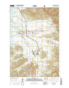
2014 Map of Tillamook
USGS Topo · Published 2014About this map
The town of Tillamook sits at the heart of a complex delta system where the Wilson River, Trask River, and Tillamook River converge toward Tillamook Bay. This coastal landscape is defined by the intricate network of sloughs, such as Hoquarten Slough and Neilson Slough, that weave through the valley floor. The map highlights the area's development, featuring the Tillamook Bay Community College and the Tillamook Airport to the south.
Find a feature on this map
148 named features on this map. Tap any name to fly to it.
Don’t see what you’re looking for? This feature index may not catch every label — zoom into the map to look around manually.
Map Details
Editions of this 2014 Tillamook Map
This is the sole edition of this map. No revisions or reprints were ever made.
Other maps of this area

1937 · Nehalem
USGS Topo · 1:62,500

1937 · Enright
USGS Topo · 1:62,500

1941 · Enright
USGS Topo · 1:62,500

1942 · Ginger Peak
USGS Topo · 1:62,500

1942 · Tillamook
USGS Topo · 1:62,500

1943 · Nehalem
USGS Topo · 1:62,500

1948 · Vancouver
USGS Topo · 1:250,000

1950 · Vancouver
USGS Topo · 1:250,000

1950 · Vancouver
USGS Topo · 1:250,000

1955 · Blaine
USGS Topo · 1:62,500