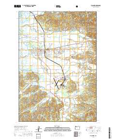
2020 Map of Tillamook
USGS Topo · Published 2020About this map
The Tillamook river valley and coastal plain are shown here where the Wilson River, Trask River, and Tillamook River converge toward the bay. The map documents the civic and logistical heart of the county, centered on the Tillamook County Courthouse and the expansive Tillamook Airport at Long Prairie Rd. The landscape is a network of sloughs and waterways, including Hoquarten Slough and Dougherty Slough, which historically dictated the placement of bridges such as the Makinster Bridge, Stillwell Bridge, and Prince Bridge.
Find a feature on this map
137 named features on this map. Tap any name to fly to it.
Don’t see what you’re looking for? This feature index may not catch every label — zoom into the map to look around manually.
Map Details
Editions of this 2020 Tillamook Map
This is the sole edition of this map. No revisions or reprints were ever made.
Other maps of this area
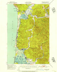
1937 · Nehalem
USGS Topo · 1:62,500
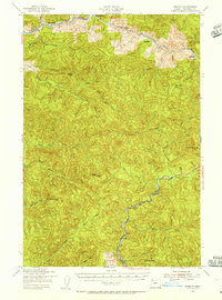
1937 · Enright
USGS Topo · 1:62,500
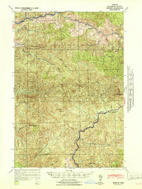
1941 · Enright
USGS Topo · 1:62,500
1942 · Ginger Peak
USGS Topo · 1:62,500
1942 · Tillamook
USGS Topo · 1:62,500
1943 · Nehalem
USGS Topo · 1:62,500

1948 · Vancouver
USGS Topo · 1:250,000
1950 · Vancouver
USGS Topo · 1:250,000
1950 · Vancouver
USGS Topo · 1:250,000
1955 · Blaine
USGS Topo · 1:62,500