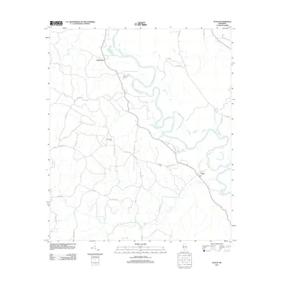
2012 Map of Tilton
USGS Topo · Published 2012About this map
The Pearl River winds through the heart of this Lawrence County landscape, defining the topography near the settlements of Robinwood and Tilton. This 2012 survey illustrates a rural corridor characterized by heavy woodland and winding waterways like Mill Cr and White Sand Cr. The drainage patterns and oxbow features, such as Wilsons Lake, suggest a dynamic river system that has historically shaped local land use and property boundaries.
Find a feature on this map
36 named features on this map. Tap any name to fly to it.
Don’t see what you’re looking for? This feature index may not catch every label — zoom into the map to look around manually.
Map Details
Editions of this 2012 Tilton Map
This is the sole edition of this map. No revisions or reprints were ever made.
Other maps of this area

1953 · Hattiesburg
USGS Topo · 1:250,000

1953 · Natchez
USGS Topo · 1:250,000

1956 · Natchez
USGS Topo · 1:250,000

1958 · Hattiesburg
USGS Topo · 1:250,000

1959 · Natchez
USGS Topo · 1:250,000

1970 · Prentiss West
USGS Topo · 1:24,000

1970 · Topeka
USGS Topo · 1:24,000

1970 · Monticello
USGS Topo · 1:24,000

1970 · Darbun
USGS Topo · 1:24,000

1970 · Morgantown
USGS Topo · 1:24,000