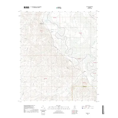
2018 Map of Tilton
USGS Topo · Published 2018About this map
The Pearl River winds through this section of the Mississippi piney woods, forming a massive, serpentine boundary between Lawrence and Marion counties. The landscape is defined by the heavy meanders of the river and its associated wetlands, including Wilsons Lake and the tributary waters of White Sand Creek. This environment historically shaped local settlement patterns, seen here in the placement of Robinwood and Tilton on the higher ground flanking the river's floodplain. Family history and local heritage are preserved in rural landmarks like Sauls Cem and Bozeman Cem, while a network of named country roads such as Robinwood Rd and Tilton Rd connect these small communities. The map provides a clear record of land divisions, marking the township and range lines that structured the region's development along the river corridor.
Find a feature on this map
35 named features on this map. Tap any name to fly to it.
Don’t see what you’re looking for? This feature index may not catch every label — zoom into the map to look around manually.
Map Details
Editions of this 2018 Tilton Map
This is the sole edition of this map. No revisions or reprints were ever made.
Other maps of this area
1953 · Hattiesburg
USGS Topo · 1:250,000
1953 · Natchez
USGS Topo · 1:250,000
1956 · Natchez
USGS Topo · 1:250,000
1958 · Hattiesburg
USGS Topo · 1:250,000
1959 · Natchez
USGS Topo · 1:250,000
1970 · Prentiss West
USGS Topo · 1:24,000
1970 · Topeka
USGS Topo · 1:24,000
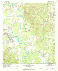
1970 · Monticello
USGS Topo · 1:24,000
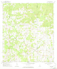
1970 · Darbun
USGS Topo · 1:24,000
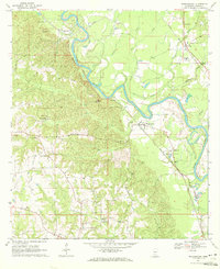
1970 · Morgantown
USGS Topo · 1:24,000