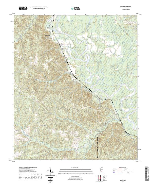
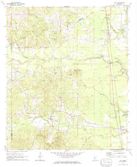
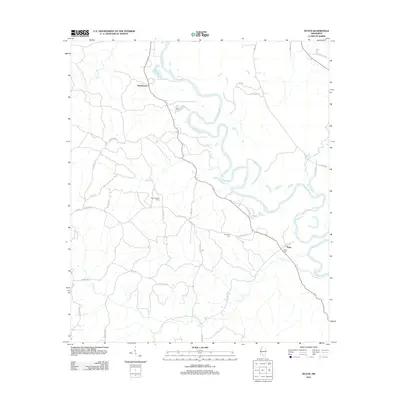
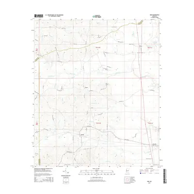
2024 Map of Tilton
USGS Topo · Published 2024About this map
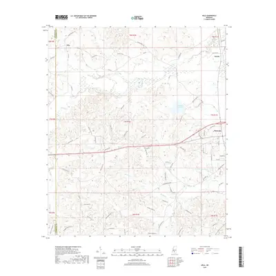
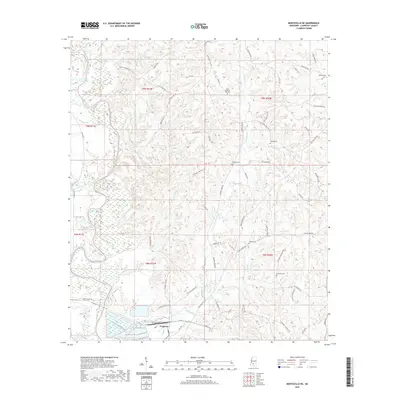
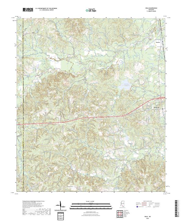
The Pearl River dominates the center of this landscape, its wide meanders and oxbow features like Wilsons Lake defining the topography of Lawrence and Marion Counties. This survey provides a detailed view of the rural settlements at Robinwood and Tilton, capturing a network of local roads and family-named routes such as Robin Wood Rd and Givens Rd. The terrain is characterized by a dense system of tributaries, including Mill Creek, Tilton Creek, and White Sand Creek, which drain the low-lying areas near the river. For those researching local family history, the map specifically identifies small community landmarks such as Bozeman Cem and Sauls Cem, offering precise locations for these points of interest within the larger piney woods region of southern Mississippi.
Find a feature on this map
38 named features on this map. Tap any name to fly to it.
Don’t see what you’re looking for? This feature index may not catch every label — zoom into the map to look around manually.
Map Details
Editions of this 2024 Tilton Map
This is the sole edition of this map. No revisions or reprints were ever made.
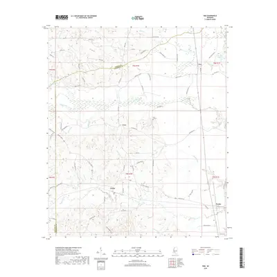
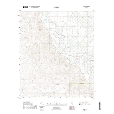
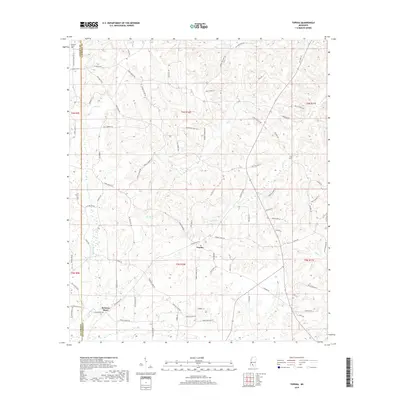
Historical Maps of Robinwood Through Time
30 maps found

1970 Nola
Lawrence County, MS
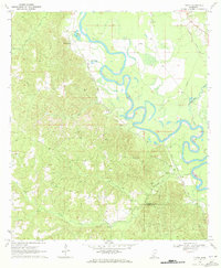
1970 Tilton
Lawrence County, MS
1970 Topeka
Lawrence County, MS
1971 Monticello NE
Lawrence County, MS
1971 Oma
Lawrence County, MS
2012 Monticello NE
Lawrence County, MS
2012 Nola
Lawrence County, MS
2012 Oma
Lawrence County, MS
2012 Tilton
Lawrence County, MS
2012 Topeka
Lawrence County, MS
2015 Monticello NE
Lawrence County, MS
2015 Nola
Lawrence County, MS
2015 Oma
Lawrence County, MS
2015 Tilton
Lawrence County, MS
2015 Topeka
Lawrence County, MS
2018 Monticello NE
Lawrence County, MS
2018 Nola
Lawrence County, MS
2018 Oma
Lawrence County, MS
2018 Tilton
Lawrence County, MS
2018 Topeka
Lawrence County, MS
2020 Monticello NE
Lawrence County, MS
2020 Nola
Lawrence County, MS
2020 Oma
Lawrence County, MS

2020 Tilton
Lawrence County, MS
2020 Topeka
Lawrence County, MS
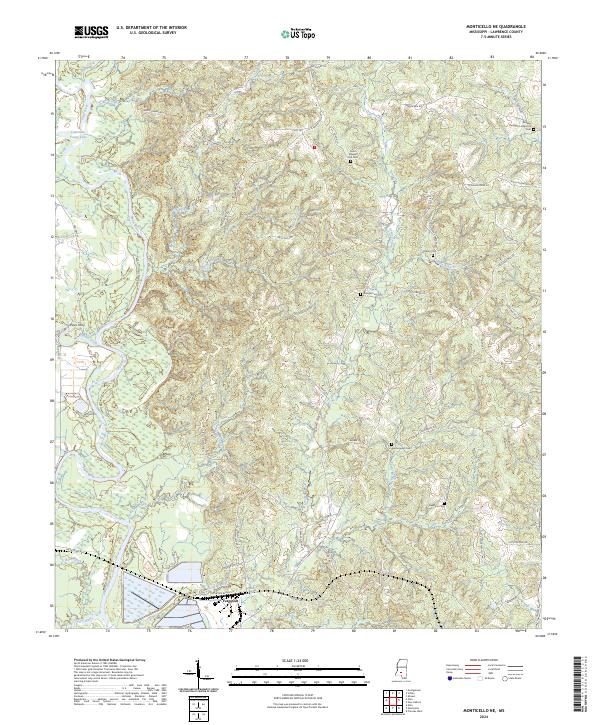
2024 Monticello NE
Lawrence County, MS
2024 Nola
Lawrence County, MS
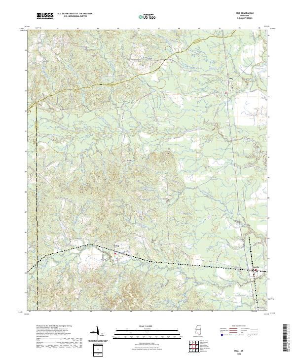
2024 Oma
Lawrence County, MS
2024 Tilton
Lawrence County, MS
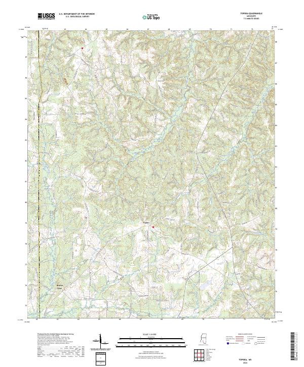
2024 Topeka
Lawrence County, MS