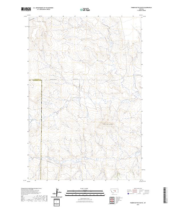
2024 Map of Timber Buttes South
USGS Topo · Published 2024About this map
Timber Buttes and Naderman Buttes anchor the skyline of this central Montana landscape, where the boundary between Musselshell and Golden Valley counties bisects the terrain. The area is defined by a dendritic network of drainages including Cameron Creek, Pole Creek, and Currant Creek, which carve through the high plains. Human presence is marked by a grid of rural roads and section lines that follow the Public Land Survey System, with Horsethief Creek Rd and Sharptail Rd providing access across the range. The map illustrates a modern view of big-sky country where land management and natural topography intersect, showing how watercourses like Smith Coulee and Cat Creek dictate the local movement and settlement patterns in this ranching-heavy region.
Find a feature on this map
18 named features on this map. Tap any name to fly to it.
Don’t see what you’re looking for? This feature index may not catch every label — zoom into the map to look around manually.
Map Details
Editions of this 2024 Timber Buttes South Map
This is the sole edition of this map. No revisions or reprints were ever made.
Other maps of this area

1954 · Roundup
USGS Topo · 1:250,000

1958 · Roundup
USGS Topo · 1:250,000

1979 · Roundup
USGS Topo · 1:100,000

1979 · Bundy
USGS Topo · 1:24,000

1979 · Lavina NW
USGS Topo · 1:24,000

1979 · Timber Buttes South
USGS Topo · 1:24,000

1979 · Lavina
USGS Topo · 1:24,000

1979 · Elso
USGS Topo · 1:24,000

1979 · Horsethief Creek
USGS Topo · 1:24,000

1986 · Emory School
USGS Topo · 1:24,000