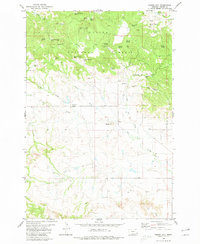
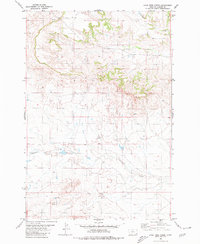
1980 Map of Timber Hill
USGS Topo · Published 1980About this map
The northern slopes of Belltower Divide dominate this landscape, where the wooded uplands of the Custer National Forest transition into a series of drainages leading toward the creek bottoms. This 1980 survey captures the ranching and timber geography of eastern Montana, marked by dozens of named springs such as Big Noise Spring, Curley Spring, and White Rock Spring that served as critical water sources for local livestock. Evidence of earlier settlement and local family history is found at the Tie Creek School and the Pioneer Cem near Cheesman Draw. The map reveals a remote landscape defined by its relief, from the summit of Timber Hill down to the winding course of Tie Creek and its many tributaries, including North Tie Creek and Gergen Creek.
Find a feature on this map
37 named features on this map. Tap any name to fly to it.
Don’t see what you’re looking for? This feature index may not catch every label — zoom into the map to look around manually.
Map Details
Editions of this 1980 Timber Hill Map
This is the sole edition of this map. No revisions or reprints were ever made.
Other maps of this area

1954 · Ekalaka
USGS Topo · 1:250,000

1956 · Ekalaka
USGS Topo · 1:250,000

1958 · Ekalaka
USGS Topo · 1:250,000

1965 · Ekalaka
USGS Topo · 1:250,000

1980 · Belltower
USGS Topo · 1:24,000
1980 · Capitol Rock
USGS Topo · 1:24,000
1980 · Rustler Divide
USGS Topo · 1:24,000

1980 · Belltower Butte
USGS Topo · 1:24,000
1980 · Capitol NW
USGS Topo · 1:24,000
1980 · Lone Tree Creek
USGS Topo · 1:24,000