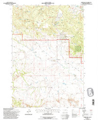
1993 Map of Timber Hill
USGS Topo · Published 1996About this map
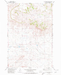
Custer National Forest lands dominate the northern half of this landscape, where the terrain breaks into complex draws and ridges before sloping toward the drainages of Tie Creek and Sand Creek to the south. In the 1990s, this area of Carter County remained defined by its ranching history and sparse rural infrastructure. Evidence of early settlement is preserved at the Pioneer Cem and the Plainview School, while active land use is marked by the Basler Ranch and Lende Ranch. Water sources are critical in this high-plains environment, noted by numerous family-named improvements like Gergen Reservoir, Pot Hole Reservoir, and McClary Spring No 1. The small community of Belltower sits near the forest boundary, serving as a landmark in a territory primarily navigated via 4wd tracks and forest roads along Weller Draw and Cheesman Draw.
Find a feature on this map
40 named features on this map. Tap any name to fly to it.
Don’t see what you’re looking for? This feature index may not catch every label — zoom into the map to look around manually.
Map Details
Editions of this 1993 Timber Hill Map
This is the sole edition of this map. No revisions or reprints were ever made.
Other maps of this area

1954 · Ekalaka
USGS Topo · 1:250,000

1956 · Ekalaka
USGS Topo · 1:250,000

1958 · Ekalaka
USGS Topo · 1:250,000

1965 · Ekalaka
USGS Topo · 1:250,000

1980 · Belltower
USGS Topo · 1:24,000
1980 · Capitol Rock
USGS Topo · 1:24,000
1980 · Rustler Divide
USGS Topo · 1:24,000

1980 · Belltower Butte
USGS Topo · 1:24,000
1980 · Capitol NW
USGS Topo · 1:24,000
1980 · Lone Tree Creek
USGS Topo · 1:24,000