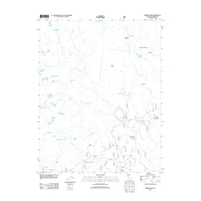
2012 Map of Timber Knob
USGS Topo · Published 2012About this map
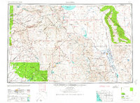
Timber Knob stands as the namesake peak of this high-altitude landscape in Madera County, where the Sierras are defined by a dense network of glacial basins and alpine drainage. The terrain is characterized by numerous small bodies of water, including the Fernández Lakes, Lillian Lake, and the Jackass Lakes cluster, all feeding into the complex system of the W Fork Granite Cr and Post Cr. Evidence of seasonal habitation and backcountry recreation is found at Knoblock Cabin and Chetwood Cabin, alongside established sites like the Granite Creek Campground and Clover Meadow Campground. Transport through the southern portion of the quadrangle is anchored by Beasore Rd, which provides access to the meadows and high-country landmarks like The Niche and Soldier Meadow.
Find a feature on this map
48 named features on this map. Tap any name to fly to it.
Don’t see what you’re looking for? This feature index may not catch every label — zoom into the map to look around manually.
Map Details
Editions of this 2012 Timber Knob Map
This is the sole edition of this map. No revisions or reprints were ever made.
Other maps of this area
1901 · Mt. Lyell
USGS Topo · 1:125,000
1904 · Kaiser
USGS Topo · 1:125,000

1947 · Mariposa
USGS Topo · 1:250,000

1948 · Mariposa
USGS Topo · 1:250,000
1953 · Merced Peak
USGS Topo · 1:62,500
1953 · Devils Postpile
USGS Topo · 1:62,500
1953 · Shuteye Peak
USGS Topo · 1:62,500
1953 · Kaiser Peak
USGS Topo · 1:62,500
1957 · Mariposa
USGS Topo · 1:250,000
1963 · Mariposa
USGS Topo · 1:250,000