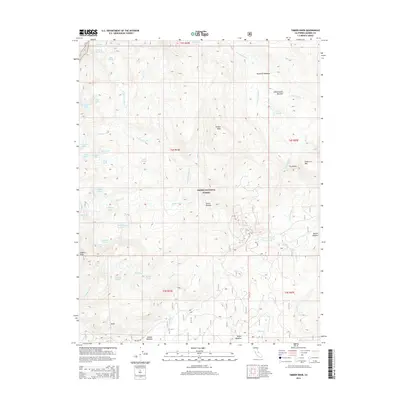
2015 Map of Timber Knob
USGS Topo · Published 2015About this map
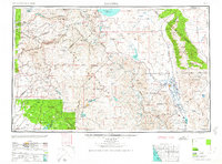
Timber Knob and Madera Peak dominate this high-elevation landscape within the Sierra National Forest. The 2015 survey reveals a complex alpine hydrology where numerous glacial lakes, including Lillian Lake, Chittenden Lake, and the Cora Lakes, feed the headwaters of Madera Creek and the West Fork Granite Creek. This area of the Sierra Nevada is defined by its transition from sharp peaks and ridges like Green Mountain to expansive clearings such as Jackass Meadow and Knoblock Meadow. The map documents a wilderness primarily accessible by trails and the singular Beasore Road at the southern edge, illustrating the remote character of the region. Detailed topography captures unique landforms such as The Niche and the granite formations at Balls, providing a precise record of the geological features near the Madera and Mono county borders.
Find a feature on this map
54 named features on this map. Tap any name to fly to it.
Don’t see what you’re looking for? This feature index may not catch every label — zoom into the map to look around manually.
Map Details
Editions of this 2015 Timber Knob Map
This is the sole edition of this map. No revisions or reprints were ever made.
Other maps of this area
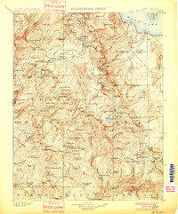
1901 · Mt. Lyell
USGS Topo · 1:125,000
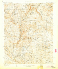
1904 · Kaiser
USGS Topo · 1:125,000

1947 · Mariposa
USGS Topo · 1:250,000

1948 · Mariposa
USGS Topo · 1:250,000
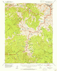
1953 · Merced Peak
USGS Topo · 1:62,500
1953 · Devils Postpile
USGS Topo · 1:62,500
1953 · Shuteye Peak
USGS Topo · 1:62,500
1953 · Kaiser Peak
USGS Topo · 1:62,500
1957 · Mariposa
USGS Topo · 1:250,000
1963 · Mariposa
USGS Topo · 1:250,000