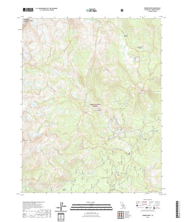
2021 Map of Timber Knob
USGS Topo · Published 2021About this map
Sierra National Forest dominates this high-altitude landscape, where the southern boundary of Yosemite National Park meets the headwaters of numerous mountain creeks. The terrain is defined by a dense network of high-country trails and glacial lakes, including Lillian Lake, Walton Lake, and the Jackass Lakes. The inclusion of the Strawberry Mine provides a specific point of industrial interest within this otherwise protected wilderness area, indicating the reach of 20th-century resource extraction into the high Sierra Nevada.
Find a feature on this map
85 named features on this map. Tap any name to fly to it.
Don’t see what you’re looking for? This feature index may not catch every label — zoom into the map to look around manually.
Map Details
Editions of this 2021 Timber Knob Map
This is the sole edition of this map. No revisions or reprints were ever made.
Other maps of this area

1901 · Mt. Lyell
USGS Topo · 1:125,000

1904 · Kaiser
USGS Topo · 1:125,000

1947 · Mariposa
USGS Topo · 1:250,000

1948 · Mariposa
USGS Topo · 1:250,000

1953 · Merced Peak
USGS Topo · 1:62,500

1953 · Devils Postpile
USGS Topo · 1:62,500

1953 · Shuteye Peak
USGS Topo · 1:62,500

1953 · Kaiser Peak
USGS Topo · 1:62,500

1957 · Mariposa
USGS Topo · 1:250,000

1963 · Mariposa
USGS Topo · 1:250,000