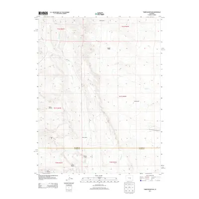
2013 Map of Timber Mountain
USGS Topo · Published 2013About this map
The El Paso Co and Pueblo Co boundary line bisects this 2013 topographic survey, marking a transition across the arid canyonlands and high peaks of the Colorado Front Range. Rising sharply in the west, Timber Mountain and Booth Mountain dominate the skyline, while the land to the east is deeply carved by a network of drainage systems. The landscape is defined by its verticality, where Turkey Cr and Little Turkey Cr navigate narrow corridors like Rule Canyon and Sullivan Canyon. Human presence is minimal, anchored by the winding path of Lytle Rd and the Military Reservation Boundary Rd in the southeast. Significant geologic features such as Buck Hill and Young Hollow reveal a terrain shaped by centuries of erosion, providing a detailed look at the drainage patterns of Sand Cr and Wild Horse Cr before they descend toward the plains.
Find a feature on this map
22 named features on this map. Tap any name to fly to it.
Don’t see what you’re looking for? This feature index may not catch every label — zoom into the map to look around manually.
Map Details
Editions of this 2013 Timber Mountain Map
This is the sole edition of this map. No revisions or reprints were ever made.
Other maps of this area
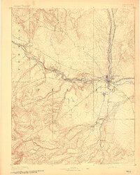
1891 · Pueblo
USGS Topo · 1:125,000
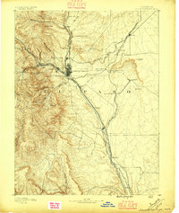
1893 · Colorado Springs
USGS Topo · 1:125,000
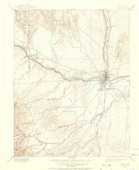
1894 · Pueblo
USGS Topo · 1:125,000
1896 · Pueblo
USGS Topo · 1:125,000
1897 · Pueblo
USGS Topo · 1:125,000
1909 · Colorado Springs
USGS Topo · 1:125,000
1942 · Colorado Springs
USGS Topo · 1:125,000
1948 · Mount Big Chief
USGS Topo · 1:24,000
1948 · Mount Pittsburg
USGS Topo · 1:24,000
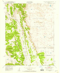
1948 · Timber Mountain
USGS Topo · 1:24,000