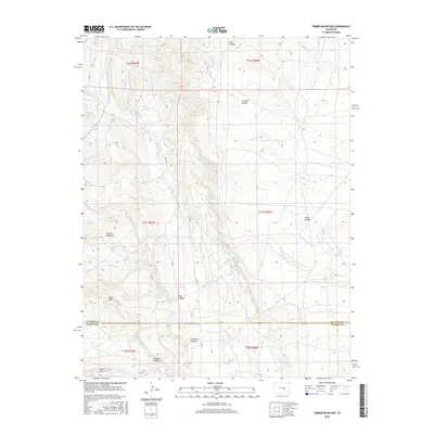
2016 Map of Timber Mountain
USGS Topo · Published 2016About this map
Timber Mountain and Booth Mtn define this high-altitude landscape along the border of El Paso and Pueblo Counties. The terrain is deeply incised by a network of drainage systems, including Turkey Cr and Little Turkey Cr in the west, and the expansive Sand Cr basin to the east. These waterways have carved a series of distinct landforms, from the narrow Rule Canyon and Orchard Canyon to the broader depressions of Young Hollow.
Find a feature on this map
21 named features on this map. Tap any name to fly to it.
Don’t see what you’re looking for? This feature index may not catch every label — zoom into the map to look around manually.
Map Details
Editions of this 2016 Timber Mountain Map
This is the sole edition of this map. No revisions or reprints were ever made.
Other maps of this area
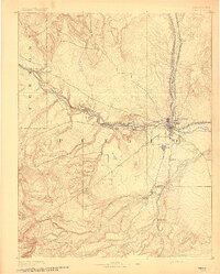
1891 · Pueblo
USGS Topo · 1:125,000
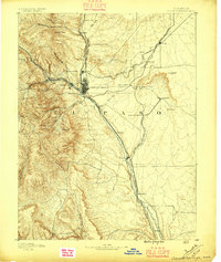
1893 · Colorado Springs
USGS Topo · 1:125,000
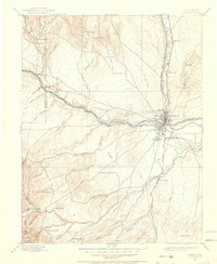
1894 · Pueblo
USGS Topo · 1:125,000
1896 · Pueblo
USGS Topo · 1:125,000
1897 · Pueblo
USGS Topo · 1:125,000
1909 · Colorado Springs
USGS Topo · 1:125,000
1942 · Colorado Springs
USGS Topo · 1:125,000
1948 · Mount Big Chief
USGS Topo · 1:24,000
1948 · Mount Pittsburg
USGS Topo · 1:24,000
1948 · Timber Mountain
USGS Topo · 1:24,000