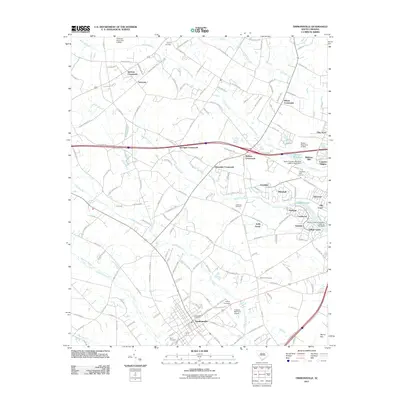
2011 Map of Timmonsville
USGS Topo · Published 2011About this map
Timmonsville serves as the primary hub of this Florence County landscape, where the traditional street grid meets the critical transportation corridors of the coastal plain. The town's historical foundations are evident in the placement of Byrd Cemetery and the Timmonsville Post Office, while its modern infrastructure is marked by the Huggins Memorial Airport. The surrounding countryside is defined by an intricate network of wetlands and watercourses, most notably Lake Swamp, Middle Swamp, and Sparrow Swamp, which weave between small residential enclaves like Whitehall, Oakdale, and Village Green.
Find a feature on this map
152 named features on this map. Tap any name to fly to it.
Don’t see what you’re looking for? This feature index may not catch every label — zoom into the map to look around manually.
Map Details
Editions of this 2011 Timmonsville Map
This is the sole edition of this map. No revisions or reprints were ever made.
Other maps of this area

1940 · Florence West
USGS Topo · 1:62,500

1941 · Spartanburg
USGS Topo · 1:250,000

1945 · Florence West
USGS Topo · 1:62,500

1953 · Florence
USGS Topo · 1:250,000

1953 · Spartanburg
USGS Topo · 1:250,000

1954 · Florence
USGS Topo · 1:250,000

1960 · Spartanburg
USGS Topo · 1:250,000

1963 · Spartanburg
USGS Topo · 1:250,000

1963 · Darlington East
USGS Topo · 1:24,000

1963 · Darlington West
USGS Topo · 1:24,000