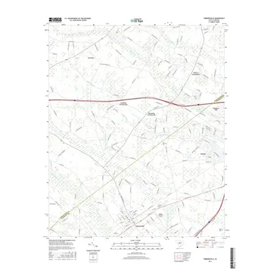
2017 Map of Timmonsville
USGS Topo · Published 2017About this map
The town of Timmonsville anchors the southern portion of this landscape, where established local infrastructure meets a complex network of waterways. Significant water features such as Middle Swamp, Sparrow Swamp, and Syracuse Swamp dominate the low-lying areas between the smaller settlements of Oakdale and Syracuse. The agricultural and community history of the region is evident in the numerous family and community landmarks, including Phillips Cem and Garner Cem, alongside the Huggins Memorial Airport located just east of the main town center.
Find a feature on this map
144 named features on this map. Tap any name to fly to it.
Don’t see what you’re looking for? This feature index may not catch every label — zoom into the map to look around manually.
Map Details
Editions of this 2017 Timmonsville Map
This is the sole edition of this map. No revisions or reprints were ever made.
Other maps of this area

1940 · Florence West
USGS Topo · 1:62,500

1941 · Spartanburg
USGS Topo · 1:250,000

1945 · Florence West
USGS Topo · 1:62,500

1953 · Florence
USGS Topo · 1:250,000

1953 · Spartanburg
USGS Topo · 1:250,000

1954 · Florence
USGS Topo · 1:250,000

1960 · Spartanburg
USGS Topo · 1:250,000

1963 · Spartanburg
USGS Topo · 1:250,000

1963 · Darlington East
USGS Topo · 1:24,000

1963 · Darlington West
USGS Topo · 1:24,000