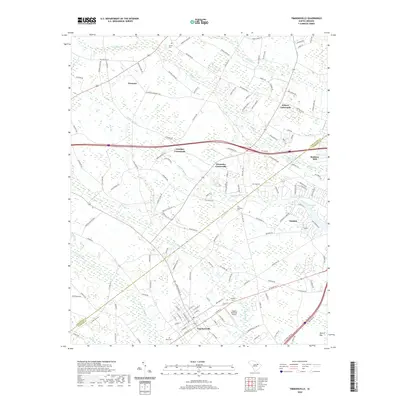
2020 Map of Timmonsville
USGS Topo · Published 2020About this map
Timmonsville anchors the southern portion of this Florence County landscape, where the street grid converges near the Huggins Memorial Airport. The surrounding terrain is defined by a dense network of blackwater drainage systems, including the meandering Sparrow Swamp and Middle Swamp, which create a complex pattern of wetlands and bays such as Jacks Bay and Morris Bay. This modern survey illustrates how long-standing agricultural crossroads like Wilson Crossroads, Jernigan Crossroads, and Alexander Crossroads continue to organize the rural interior.
Find a feature on this map
139 named features on this map. Tap any name to fly to it.
Don’t see what you’re looking for? This feature index may not catch every label — zoom into the map to look around manually.
Map Details
Editions of this 2020 Timmonsville Map
This is the sole edition of this map. No revisions or reprints were ever made.
Other maps of this area

1940 · Florence West
USGS Topo · 1:62,500

1941 · Spartanburg
USGS Topo · 1:250,000

1945 · Florence West
USGS Topo · 1:62,500

1953 · Florence
USGS Topo · 1:250,000

1953 · Spartanburg
USGS Topo · 1:250,000

1954 · Florence
USGS Topo · 1:250,000

1960 · Spartanburg
USGS Topo · 1:250,000

1963 · Spartanburg
USGS Topo · 1:250,000

1963 · Darlington East
USGS Topo · 1:24,000

1963 · Darlington West
USGS Topo · 1:24,000