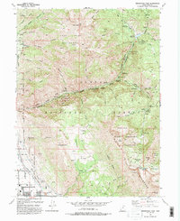
1993 Map of Timpanogos Cave
USGS Topo · Published 1993About this map
The northern reaches of Utah Valley meet the precipitous slopes of the Wasatch Range in this topographic study. Settled communities like Pleasant Grove and Alpine occupy the lower elevations, while the canyon systems of American Fork and Dry Creek provide access to the high peaks. The 1993 data shows the complex water infrastructure supporting this region, including the Salt Lake City Aqueduct, Pleasant Grove Aqueduct, and the Tibble Fork Reservoir.
Find a feature on this map
85 named features on this map. Tap any name to fly to it.
Don’t see what you’re looking for? This feature index may not catch every label — zoom into the map to look around manually.
Map Details
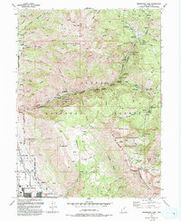
Editions of this 1993 Timpanogos Cave Map
2 editions found
Other maps of this area

1885 · Salt Lake
USGS Topo · 1:250,000

1925 · Ft. Douglas
USGS Topo · 1:125,000

1928 · Ft. Douglas
USGS Topo · 1:125,000

1948 · Timpanogos Cave
USGS Topo · 1:24,000

1948 · Orem
USGS Topo · 1:24,000

1948 · Orem
USGS Topo · 1:62,500

1948 · Aspen Grove
USGS Topo · 1:24,000

1948 · Bridal Veil Falls
USGS Topo · 1:24,000

1950 · Orem
USGS Topo · 1:24,000

1950 · Aspen Grove
USGS Topo · 1:24,000