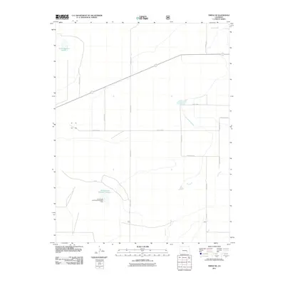
2011 Map of Timpas NE
USGS Topo · Published 2011About this map
The high plains of Otero County in the early 21st century are defined by a complex network of water management and rural infrastructure. The Rocky Ford Highline Canal cuts across the landscape, illustrating the critical importance of irrigation to this part of Colorado. Water storage is anchored by several key basins, including Swink Reservoir Number 1 in the northwest and Prairie Land Reservoir Number 1 further south, the latter of which is secured by the Prairie Land and Irrigation Number 1 Dam. The terrain is characterized by ephemeral drainage patterns like Dry Creek, which meanders through the southern half of the quadrangle. A geometric grid of local transit, including County Road BB and County Rd 14, organizes the territory, facilitating access to these vital agricultural water resources in an otherwise arid environment.
Find a feature on this map
19 named features on this map. Tap any name to fly to it.
Don’t see what you’re looking for? This feature index may not catch every label — zoom into the map to look around manually.
Map Details
Editions of this 2011 Timpas NE Map
This is the sole edition of this map. No revisions or reprints were ever made.
Other maps of this area
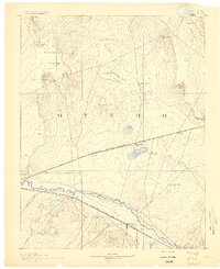
1891 · Catlin
USGS Topo · 1:125,000
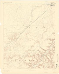
1891 · Timpas
USGS Topo · 1:125,000
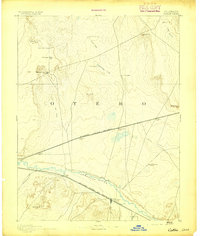
1893 · Catlin
USGS Topo · 1:125,000
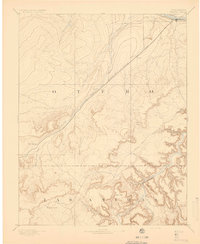
1894 · Timpas
USGS Topo · 1:125,000
1954 · Elder
USGS Topo · 1:24,000
1954 · Manzanola
USGS Topo · 1:24,000

1954 · Lamar
USGS Topo · 1:250,000
1955 · Rocky Ford
USGS Topo · 1:24,000

1955 · La Junta
USGS Topo · 1:250,000

1958 · La Junta
USGS Topo · 1:250,000