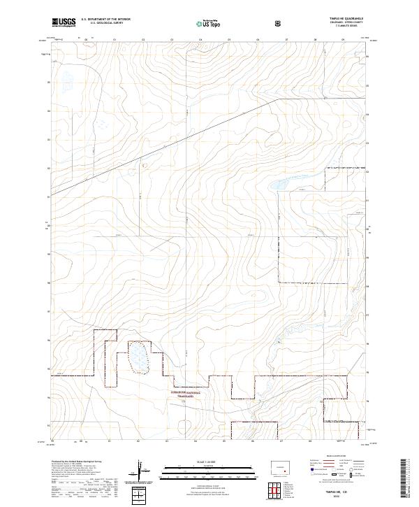
2022 Map of Timpas NE
USGS Topo · Published 2022About this map
The Comanche National Grassland dominates the southern reaches of this landscape, reflecting a protected high plains environment dedicated to prairie restoration. The terrain is defined by its drainage patterns and irrigation history, most notably where the Rocky Ford Highline Canal cuts across the northern half of the quadrangle. This man-made waterway signifies the region’s long-standing reliance on managed water systems to support the arid Otero County interior.
Find a feature on this map
19 named features on this map. Tap any name to fly to it.
Don’t see what you’re looking for? This feature index may not catch every label — zoom into the map to look around manually.
Map Details
Editions of this 2022 Timpas NE Map
This is the sole edition of this map. No revisions or reprints were ever made.
Other maps of this area

1891 · Catlin
USGS Topo · 1:125,000

1891 · Timpas
USGS Topo · 1:125,000

1893 · Catlin
USGS Topo · 1:125,000

1894 · Timpas
USGS Topo · 1:125,000

1954 · Elder
USGS Topo · 1:24,000

1954 · Manzanola
USGS Topo · 1:24,000

1954 · Lamar
USGS Topo · 1:250,000

1955 · Rocky Ford
USGS Topo · 1:24,000

1955 · La Junta
USGS Topo · 1:250,000

1958 · La Junta
USGS Topo · 1:250,000