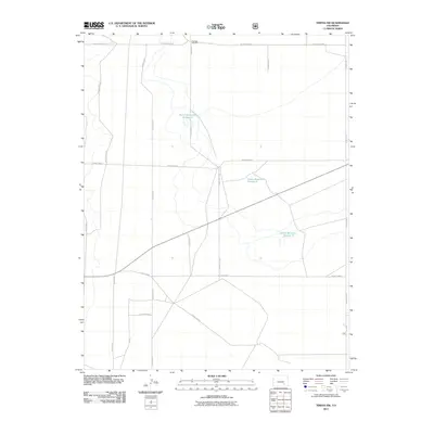
2011 Map of Timpas NW
USGS Topo · Published 2011About this map
Swink Reservoir Number 2, Swink Reservoir Number 5, and Swink Reservoir Number 6 form the central hydrological infrastructure of this high plains area in Otero County. The landscape is defined by a rigid section-line road network, including thoroughfares such as County Road BB and County Road Y, which reflect the systematic organization of Colorado's rural agriculture. The presence of the Harbeck Windmill in the northern portion of the quadrangle highlights the importance of localized water management for livestock and irrigation in this arid environment. This 2011 survey serves as a detailed record of the intersections and local transit routes, including County Road T and County RD-7, that connect the outlying ranching lands at the start of the decade.
Find a feature on this map
18 named features on this map. Tap any name to fly to it.
Don’t see what you’re looking for? This feature index may not catch every label — zoom into the map to look around manually.
Map Details
Editions of this 2011 Timpas NW Map
This is the sole edition of this map. No revisions or reprints were ever made.
Other maps of this area
1891 · Catlin
USGS Topo · 1:125,000
1891 · Timpas
USGS Topo · 1:125,000
1891 · Nepesta
USGS Topo · 1:125,000
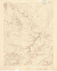
1891 · Apishapa
USGS Topo · 1:125,000
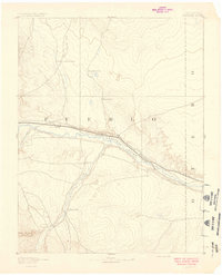
1893 · Nepesta
USGS Topo · 1:125,000
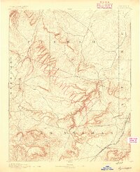
1893 · Apishapa
USGS Topo · 1:125,000
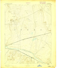
1893 · Catlin
USGS Topo · 1:125,000
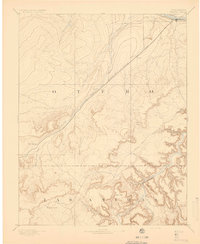
1894 · Timpas
USGS Topo · 1:125,000
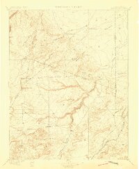
1897 · Apishapa
USGS Topo · 1:125,000
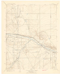
1904 · Nepesta
USGS Topo · 1:125,000