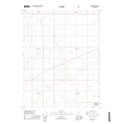
2019 Map of Timpas NW
USGS Topo · Published 2019About this map
Comanche National Grassland encompasses the southeastern corner of this quadrangle, representing a conserved landscape of the High Plains. This 2019 survey illustrates a predominantly rural and agricultural terrain in Otero County, defined by a rigid grid of county roads and water management features. Swink Reservoir Number 6 and Swink Reservoir Number 5 serve as critical landmarks in an otherwise open landscape, highlighting the importance of water storage in this semi-arid region. The land is meticulously partitioned into townships, such as t24s r59w, and connected by a network of local routes including Co Rd 7 7/10 and Co Rd V. The lack of dense settlements underscores the area's dedication to ranching and large-scale land management in the modern era.
Find a feature on this map
16 named features on this map. Tap any name to fly to it.
Don’t see what you’re looking for? This feature index may not catch every label — zoom into the map to look around manually.
Map Details
Editions of this 2019 Timpas NW Map
This is the sole edition of this map. No revisions or reprints were ever made.
Other maps of this area
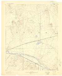
1891 · Catlin
USGS Topo · 1:125,000
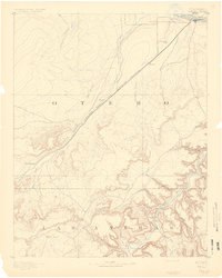
1891 · Timpas
USGS Topo · 1:125,000
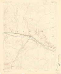
1891 · Nepesta
USGS Topo · 1:125,000
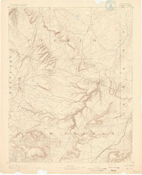
1891 · Apishapa
USGS Topo · 1:125,000
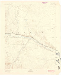
1893 · Nepesta
USGS Topo · 1:125,000
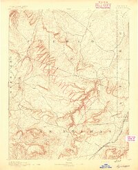
1893 · Apishapa
USGS Topo · 1:125,000
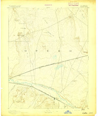
1893 · Catlin
USGS Topo · 1:125,000
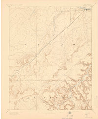
1894 · Timpas
USGS Topo · 1:125,000
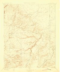
1897 · Apishapa
USGS Topo · 1:125,000
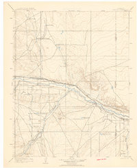
1904 · Nepesta
USGS Topo · 1:125,000