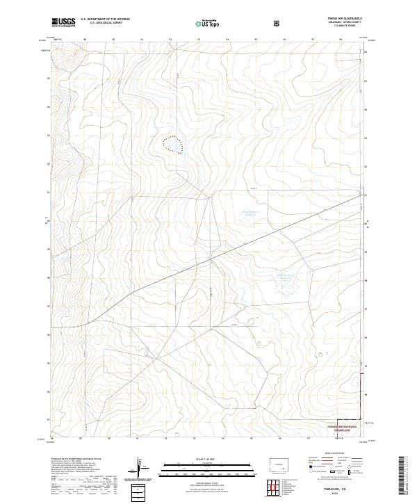
2022 Map of Timpas NW
USGS Topo · Published 2022About this map
Comanche National Grassland encompasses the southeastern corner of this Otero County landscape, highlighting a region defined by managed prairie and sparse water resources. The terrain is marked by a network of rural county roads, including Co RD 7 and Co RD V, which follow the rigid sections of the Public Land Survey System across the high plains. Water management is a central feature of the local economy, evidenced by the presence of Swink Reservoir Number 6 and Swink Reservoir Number 5. These reservoirs represent the vital irrigation infrastructure required to sustain the arid environment of southeastern Colorado, where the transition between open grassland and agricultural utility is often dictated by the proximity to such catchments.
Find a feature on this map
16 named features on this map. Tap any name to fly to it.
Don’t see what you’re looking for? This feature index may not catch every label — zoom into the map to look around manually.
Map Details
Editions of this 2022 Timpas NW Map
This is the sole edition of this map. No revisions or reprints were ever made.
Other maps of this area

1891 · Catlin
USGS Topo · 1:125,000

1891 · Timpas
USGS Topo · 1:125,000

1891 · Nepesta
USGS Topo · 1:125,000

1891 · Apishapa
USGS Topo · 1:125,000

1893 · Nepesta
USGS Topo · 1:125,000

1893 · Apishapa
USGS Topo · 1:125,000

1893 · Catlin
USGS Topo · 1:125,000

1894 · Timpas
USGS Topo · 1:125,000

1897 · Apishapa
USGS Topo · 1:125,000

1904 · Nepesta
USGS Topo · 1:125,000