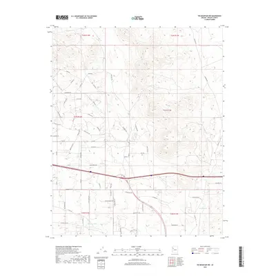
2018 Map of Tin Mountain NW
USGS Topo · Published 2018About this map
Towhee Ridge dominates the high desert terrain of this Mohave County quadrangle, where a complex network of ranch and residential roads weaves through the arid landscape. The area is defined by significant drainage patterns like Mcgarrys Wash and Peacock Wash, which reveal the hydrology of this western Arizona environment. Transport and access are central themes here, with North Friendship Pass providing a named corridor through the higher elevations. The layout of roads such as Blake Ranch Rd and Hackberry Rd reflects modern rural settlement patterns, while labels like Prospect Dr hint at the region's mineral interests. This 2018 survey captures the intersection of traditional ranching geography and contemporary property development in the desert outskirts.
Find a feature on this map
61 named features on this map. Tap any name to fly to it.
Don’t see what you’re looking for? This feature index may not catch every label — zoom into the map to look around manually.
Map Details
Editions of this 2018 Tin Mountain NW Map
This is the sole edition of this map. No revisions or reprints were ever made.
Other maps of this area
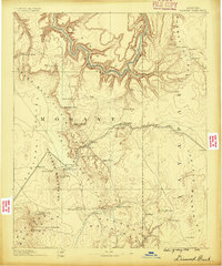
1886 · Diamond Creek
USGS Topo · 1:250,000
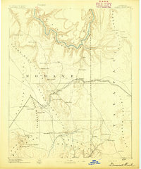
1892 · Diamond Creek
USGS Topo · 1:250,000
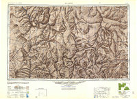
1948 · Williams
USGS Topo · 1:250,000
1954 · Williams
USGS Topo · 1:250,000
1956 · Williams
USGS Topo · 1:250,000
1960 · Williams
USGS Topo · 1:250,000
1961 · Williams
USGS Topo · 1:250,000
1968 · Austin Peak
USGS Topo · 1:24,000
1968 · Peacock Peak
USGS Topo · 1:24,000
1968 · Hualapai Peak NE
USGS Topo · 1:24,000