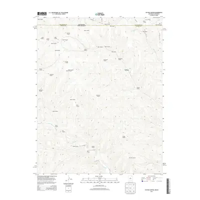
2013 Map of Tin Pan Canyon
USGS Topo · Published 2013About this map
Brilliant stands at the heart of this complex landscape where the Colorado New Mexico border meets the high country of Colfax County. The terrain is defined by a dense network of drainages and named canyons, including Tin Pan Canyon and Potato Canyon, which carve through the plateau toward the Canadian River as it winds through the southern portion of the quadrangle. This area, historically significant for its coal mining and transit routes, shows the northern reaches of the Raton Basin. Traces of regional infrastructure are evident in the naming of Railroad Canyon and the path of the Old Raton Pass Rd in the northeast. The geography here is a intricate system of branching valleys like Seeley Canyon and Gardiner Canyon, illustrating the rugged topography that historically challenged and eventually facilitated movement between the two states.
Find a feature on this map
34 named features on this map. Tap any name to fly to it.
Don’t see what you’re looking for? This feature index may not catch every label — zoom into the map to look around manually.
Map Details
Editions of this 2013 Tin Pan Canyon Map
This is the sole edition of this map. No revisions or reprints were ever made.
Other maps of this area

1891 · Spanish Peaks
USGS Topo · 1:125,000

1892 · Elmoro
USGS Topo · 1:125,000

1893 · Spanish Peaks
USGS Topo · 1:125,000

1893 · Elmoro
USGS Topo · 1:125,000

1895 · Spanish Peaks
USGS Topo · 1:125,000

1897 · Elmoro
USGS Topo · 1:125,000

1897 · Spanish Peaks
USGS Topo · 1:125,000

1900 · Spanish Peaks
USGS Topo · 1:125,000

1912 · Raton
USGS Topo · 1:62,500

1914 · Raton
USGS Topo · 1:62,500