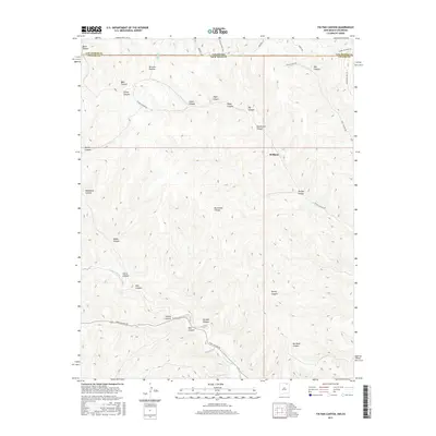
2017 Map of Tin Pan Canyon
USGS Topo · Published 2017About this map
Brilliant stands as a central point of reference in this high-altitude landscape where the Sangre de Cristo foothills meet the plains. The terrain is defined by a dense network of drainages and named canyons, including Tin Pan Canyon, Dillon Canyon, and Gardiner Canyon, all carving through the high tablelands. In the southern portion of the quadrangle, the Canadian River meanders through the breaks near its headwaters, joined by seasonal flows from Rice Canyon and Potato Canyon.
Find a feature on this map
36 named features on this map. Tap any name to fly to it.
Don’t see what you’re looking for? This feature index may not catch every label — zoom into the map to look around manually.
Map Details
Editions of this 2017 Tin Pan Canyon Map
This is the sole edition of this map. No revisions or reprints were ever made.
Other maps of this area

1891 · Spanish Peaks
USGS Topo · 1:125,000

1892 · Elmoro
USGS Topo · 1:125,000

1893 · Spanish Peaks
USGS Topo · 1:125,000

1893 · Elmoro
USGS Topo · 1:125,000

1895 · Spanish Peaks
USGS Topo · 1:125,000

1897 · Elmoro
USGS Topo · 1:125,000

1897 · Spanish Peaks
USGS Topo · 1:125,000

1900 · Spanish Peaks
USGS Topo · 1:125,000

1912 · Raton
USGS Topo · 1:62,500

1914 · Raton
USGS Topo · 1:62,500