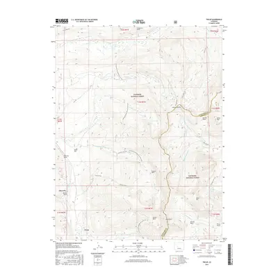
2016 Map of Tincup
USGS Topo · Published 2016About this map
The mountain town of Tincup and the site of Abbeyville sit within the high-elevation terrain of the Gunnison National Forest. This 2016 survey highlights a landscape defined by its mining-era heritage and its proximity to the Sawatch Range. Situated near the Gunnison and Chaffee County line, the area is accessible via State Highway 306 crossing over Cottonwood Pass. Numerous gulches such as Prospector Gulch, Kentucky Gulch, and Bertha Gulch point to the historic prospecting activity that once drew settlers to this part of the Rockies.
Find a feature on this map
45 named features on this map. Tap any name to fly to it.
Don’t see what you’re looking for? This feature index may not catch every label — zoom into the map to look around manually.
Map Details
Editions of this 2016 Tincup Map
This is the sole edition of this map. No revisions or reprints were ever made.
Other maps of this area
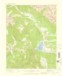
1934 · Taylor Park
USGS Topo · 1:62,500
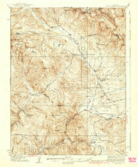
1937 · Taylor Park
USGS Topo · 1:62,500
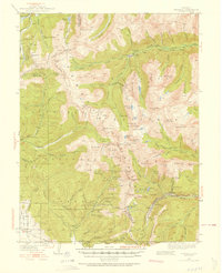
1940 · Garfield
USGS Topo · 1:62,500
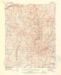
1941 · Pitkin
USGS Topo · 1:62,500
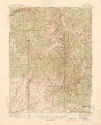
1945 · Pitkin
USGS Topo · 1:62,500
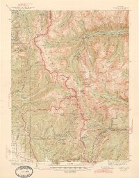
1945 · Garfield
USGS Topo · 1:62,500
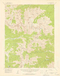
1955 · Mount Harvard
USGS Topo · 1:62,500
1956 · Montrose
USGS Topo · 1:250,000
1959 · Montrose
USGS Topo · 1:250,000
1960 · Montrose
USGS Topo · 1:250,000