
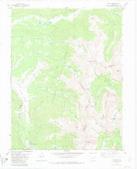
1982 Map of Tincup
USGS Topo · Published 1986About this map
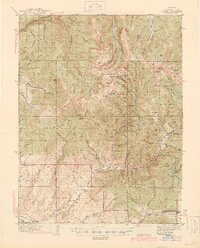
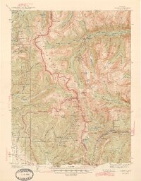
Tincup sits at the southwestern edge of this survey, surrounded by a high-altitude landscape of narrow gulches and mining remnants. The topography is defined by the Continental Divide, which separates the Gunnison National Forest from the San Isabel National Forest. Along Willow Creek, the presence of Dredge Tailings and numerous unmarked mines reflect the area's extraction history, particularly near Kentucky Gulch and Bertha Gulch.
Find a feature on this map
40 named features on this map. Tap any name to fly to it.
Don’t see what you’re looking for? This feature index may not catch every label — zoom into the map to look around manually.
Map Details
Editions of this 1982 Tincup Map
2 editions found
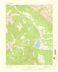
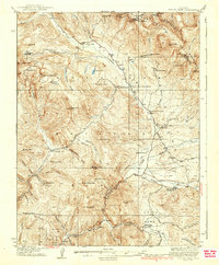
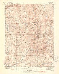
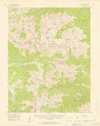
Other maps of this area
1934 · Taylor Park
USGS Topo · 1:62,500
1937 · Taylor Park
USGS Topo · 1:62,500

1940 · Garfield
USGS Topo · 1:62,500
1941 · Pitkin
USGS Topo · 1:62,500
1945 · Pitkin
USGS Topo · 1:62,500
1945 · Garfield
USGS Topo · 1:62,500
1955 · Mount Harvard
USGS Topo · 1:62,500

1956 · Montrose
USGS Topo · 1:250,000

1959 · Montrose
USGS Topo · 1:250,000

1960 · Montrose
USGS Topo · 1:250,000