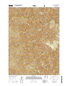
2014 Map of Tincup Peak
USGS Topo · Published 2014About this map
The Chetco River carves a deep path through this portion of the Siskiyou National Forest, where the complex geology of the Klamath Mountains is on full display. This 2014 survey documents the remote wilderness where Josephine and Curry counties meet, a region defined by high ridges like Heather Mtn and Tincup Peak. Named river bars such as Chetco Bar and Taggarts Bar indicate historical points of activity along the water, likely tied to the region's legacy of prospecting. Significant hydrologic features including Gold Basin Springs and numerous tributaries like Sluice Cr and Granite Cr feed the larger river systems. The map traces high-elevation points from Hayward Peak to Mt Billingslea, illustrating the challenging verticality of the terrain that has historically isolated these basins.
Find a feature on this map
29 named features on this map. Tap any name to fly to it.
Don’t see what you’re looking for? This feature index may not catch every label — zoom into the map to look around manually.
Map Details
Editions of this 2014 Tincup Peak Map
This is the sole edition of this map. No revisions or reprints were ever made.
Other maps of this area
1917 · Kerby
USGS Topo · 1:125,000
1918 · Kerby
USGS Topo · 1:125,000
1945 · Kerby
USGS Topo · 1:125,000
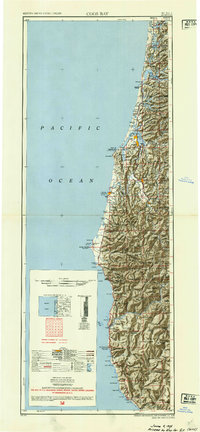
1954 · Coos Bay
USGS Topo · 1:250,000
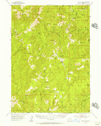
1954 · Chetco Peak
USGS Topo · 1:62,500
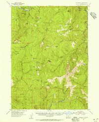
1954 · Collier Butte
USGS Topo · 1:62,500
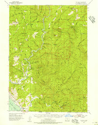
1954 · Mt. Emily
USGS Topo · 1:62,500
1954 · Pearsoll Peak
USGS Topo · 1:62,500

1955 · Medford
USGS Topo · 1:250,000
1957 · Medford
USGS Topo · 1:250,000