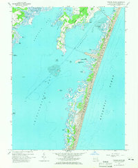
1964 Map of Tingles Island
USGS Topo · Published 1966About this map
Assateague Island and its fragile barrier ecosystem dominate this mid-1960s coastal survey, revealing a landscape defined by the shifting boundaries of water and sand. On the mainland, the Stephen Decatur Memorial Road provides access to the developed shoreline near Spence Cove and the northern Sinepuxent Bay. The map captures the establishment of Assateague State Park during an era of expanding public coastal preservation, showing the contrast between the protected barrier beach and the private Golf and Yacht Club further inland.
Find a feature on this map
36 named features on this map. Tap any name to fly to it.
Don’t see what you’re looking for? This feature index may not catch every label — zoom into the map to look around manually.
Map Details
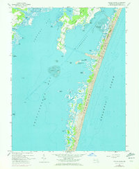
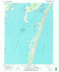
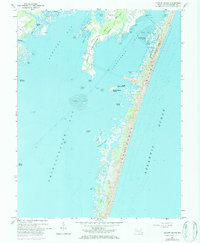
Editions of this 1964 Tingles Island Map
4 editions found
Other maps of this area

1901 · Snow Hill
USGS Topo · 1:62,500

1901 · Green Run
USGS Topo · 1:62,500

1901 · Ocean City
USGS Topo · 1:62,500

1902 · Pittsville
USGS Topo · 1:62,500

1938 · Green Run
USGS Topo · 1:62,500

1942 · Ocean City
USGS Topo · 1:62,500

1942 · Ninepin
USGS Topo · 1:24,000

1942 · Ocean City
USGS Topo · 1:24,000

1942 · Tingles Island
USGS Topo · 1:24,000

1942 · Wesley
USGS Topo · 1:24,000