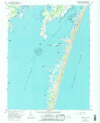
1964 Map of Tingles Island
USGS Topo · Published 1984About this map
Assateague Island serves as a dominant natural barrier in this mid-1960s coastal survey, separating the high energy of the Atlantic Ocean from the expansive tidal flats of the mainland interior. This coastal landscape is defined by the shallow waters of Chincoteague Bay, Sinepuxent Bay, and Newport Bay, which provided the foundation for local maritime livelihoods. On the mainland, the Stephen Decatur Memorial Road leads toward the settlement of Newport, while the Golf and Yacht Club indicates the early development of recreational infrastructure near Gibbs Pond. A 1972 photorevision adds further detail to the shifting shorelines of Tingles Island and the neighboring Outward Tump, revealing the dynamic nature of these marshlands. The presence of Assateague State Park and designated locations like North Beach highlight the area's transition into a preserved natural space alongside traditional sites like Lumber Marsh.
Find a feature on this map
42 named features on this map. Tap any name to fly to it.
Don’t see what you’re looking for? This feature index may not catch every label — zoom into the map to look around manually.
Map Details
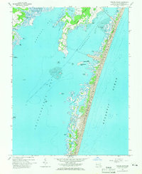
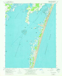
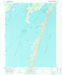
Editions of this 1964 Tingles Island Map
4 editions found
Other maps of this area

1901 · Snow Hill
USGS Topo · 1:62,500

1901 · Green Run
USGS Topo · 1:62,500

1901 · Ocean City
USGS Topo · 1:62,500

1902 · Pittsville
USGS Topo · 1:62,500

1938 · Green Run
USGS Topo · 1:62,500

1942 · Ocean City
USGS Topo · 1:62,500

1942 · Ninepin
USGS Topo · 1:24,000

1942 · Ocean City
USGS Topo · 1:24,000

1942 · Tingles Island
USGS Topo · 1:24,000

1942 · Wesley
USGS Topo · 1:24,000