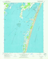
1964 Map of Tingles Island
USGS Topo · Published 1972About this map
Assateague Island dominates the eastern half of this coastal landscape, separated from the mainland necks by the expansive waters of Sinepuxent Bay and Chincoteague Bay. This mid-century environment is defined by its shifting sands and tidal marshes, featuring landmarks like Tingles Island and Lumber Marsh nestled behind the barrier beach. On the mainland side, Newport Neck and Peters Neck extend into Newport Bay, where small creeks like Marshall Cr and Catbird Creek drain the low-lying terrain.
Find a feature on this map
41 named features on this map. Tap any name to fly to it.
Don’t see what you’re looking for? This feature index may not catch every label — zoom into the map to look around manually.
Map Details
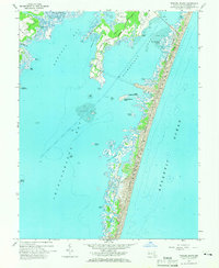
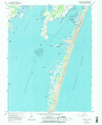
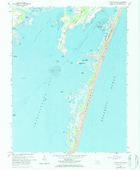
Editions of this 1964 Tingles Island Map
4 editions found
Other maps of this area

1901 · Snow Hill
USGS Topo · 1:62,500

1901 · Green Run
USGS Topo · 1:62,500

1901 · Ocean City
USGS Topo · 1:62,500

1902 · Pittsville
USGS Topo · 1:62,500

1938 · Green Run
USGS Topo · 1:62,500

1942 · Ocean City
USGS Topo · 1:62,500

1942 · Ninepin
USGS Topo · 1:24,000

1942 · Ocean City
USGS Topo · 1:24,000

1942 · Tingles Island
USGS Topo · 1:24,000

1942 · Wesley
USGS Topo · 1:24,000