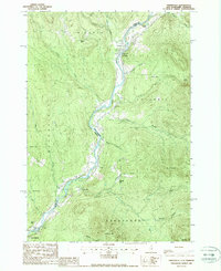
1988 Map of Tinkerville
USGS Topo · Published 1988About this map
The Connecticut River serves as the winding boundary between New Hampshire and Vermont in this late-century landscape, a corridor where small riverfront settlements like Lemington, Columbia, and Tinkerville maintain their foothold. This particular stretch of the Upper Connecticut Valley reflects a quiet rural economy centered on the river's path, evidenced by the Columbia Bridge crossing and local industry markers such as a Quarry and Gravel Pit. The topography is dominated by significant elevations on both sides of the water, from Mt Pleasant and Meriden Hill in the east to Snow Hill and Simms Hill in the west.
Find a feature on this map
43 named features on this map. Tap any name to fly to it.
Don’t see what you’re looking for? This feature index may not catch every label — zoom into the map to look around manually.
Map Details
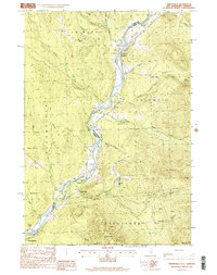
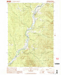
Editions of this 1988 Tinkerville Map
3 editions found
Other maps of this area

1920 · Guildhall
USGS Topo · 1:62,500

1929 · Averill
USGS Topo · 1:62,500

1930 · Percy
USGS Topo · 1:62,500

1930 · Dixville
USGS Topo · 1:62,500

1931 · Guildhall
USGS Topo · 1:48,000

1933 · Guildhall
USGS Topo · 1:48,000

1933 · Dixville
USGS Topo · 1:62,500

1934 · Percy
USGS Topo · 1:62,500

1934 · Dixville
USGS Topo · 1:62,500

1937 · Guildhall
USGS Topo · 1:62,500