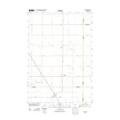
2013 Map of Tintah
USGS Topo · Published 2013About this map
Tintah and Nashua anchor this landscape where the boundaries of Traverse, Wilkin, and Grant counties converge. The terrain is defined by the winding course of the Rabbit River and its South Fork, which meander through an extensive grid of agricultural township roads. In the village of Tintah, local landmarks like Saint Galls Cem and streets such as Atlantic Ave and Putman St provide specific points of interest for genealogists and local historians. To the north, Riverside Cem sits near the riverbanks, while the Wetenkamp Airport serves as a modern aviation landmark in an area otherwise dominated by the long-established patterns of Red River Valley farming. The map effectively documents the intersections of regional transport, including MN-55 and numerous township highways that have structured this rural community for generations.
Find a feature on this map
44 named features on this map. Tap any name to fly to it.
Don’t see what you’re looking for? This feature index may not catch every label — zoom into the map to look around manually.
Map Details
Editions of this 2013 Tintah Map
This is the sole edition of this map. No revisions or reprints were ever made.
Other maps of this area

1910 · Wendell
USGS Topo · 1:62,500

1911 · Herman
USGS Topo · 1:62,500

1913 · Wendell
USGS Topo · 1:62,500

1951 · Wheaton
USGS Topo · 1:62,500

1951 · Campbell
USGS Topo · 1:62,500

1953 · Milbank
USGS Topo · 1:250,000

1953 · Fargo
USGS Topo · 1:250,000

1956 · Fargo
USGS Topo · 1:250,000

1958 · Milbank
USGS Topo · 1:250,000

1973 · Herman NW
USGS Topo · 1:24,000